Last Updated on 23 September 2024 by Cycloscope
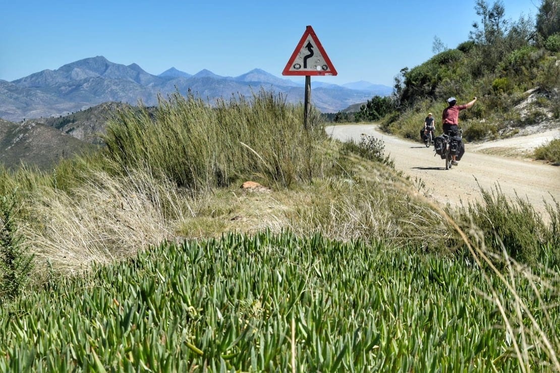
Prins Alfredpas road and the Route 62
An alternative Garden Route itinerary from Knysna to Port Elizabeth
The Garden Route is not an established route, it is more of a verdant area of South Africa with many different connections options, all scenic and interesting.
In this blog article, we’ll talk about a more off-the-beaten-path route, that goes through Prince Alfred Pass road and Route 62. This a very interesting alternative itinerary to the busy national road N2 from Knysna to Port Elizabeth.
We cycled this route as part of our crossing of South Africa by bicycle in March 2019. This article though can be used as a source of information no matter what your chosen means of transport is.
Planning a road trip to South Africa? Check ours:
- Cape Town in 5 days
- The Western Cape coast to Hermanus
- Greyton and Swellendam
- Barrydale, the Little Karoo, and the Seven Passes road
- You are here
- From Port Elizabeth to Lesotho
- A wild itinerary in Lesotho
Check also:
Sani Pass, the highest road in South Africa – Maletsunyane Falls in Lesotho
Prince Alfred Pass
Map and GPS track of our Garden Route itinerary from Knysna to Porth Elizabeth
A 340km route with a 4k+ meters elevation gain and a 70km unpaved section. All the dirt and most of the climb are indeed the Prince Alfred Pass.
This route is best experienced in two days on a car or a motorbike, it took us five daily stages on bicycles at our leisurely pace, it can certainly be done much faster according to your likes and needs.
The itinerary starts from Knysna, but not on the usual R339 Prins Alfredpas road, which is joined later.
Knysna
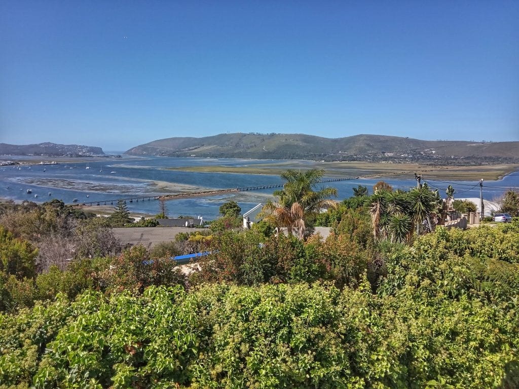
We reached Knysna from the Seven Passes Road and were suddenly confronted with Knysna’s beautiful lagoon, its very calm waters, suitable for swimming, picnics, and learning some popular sports in South Africa, like kitesurfing.
Knysna was the home of the Khoikhoi, the nomadic shepherds who lived in the southwest of Africa. It was geographically difficult to reach for Westerners, but not for long, by 1880 about a thousand people were moved here to trade timber.
Many trees were planted in foreign countries that still remain a huge problem, the alien population is in fact slowly destroying the autochthonous one;
Knysna was hit in 2017 by a devastating fire that killed 9 people and left so many homeless, even today, in the hilly part of the City, you will see many being restructured.
From Knysna, one of the most popular highlights of the Garden Route, our exploration of the off-beat interior began. Leaving the coast and its constant winds, we headed towards Prince Alfred Pass and then along the beautiful R62 road, crossed the Garden Route, and arrived in Port Elizabeth.
Knysna and the Church of Sant’Ambrogio
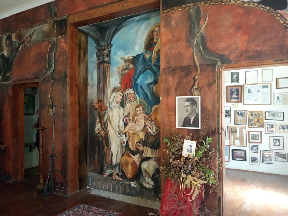
From Knysna, we took an alternative route to the R339, also a dirt road, which passes through the Church of Sant’Ambrogio, built by a group of Italian immigrants who arrived from Treviso in the nineteenth century.
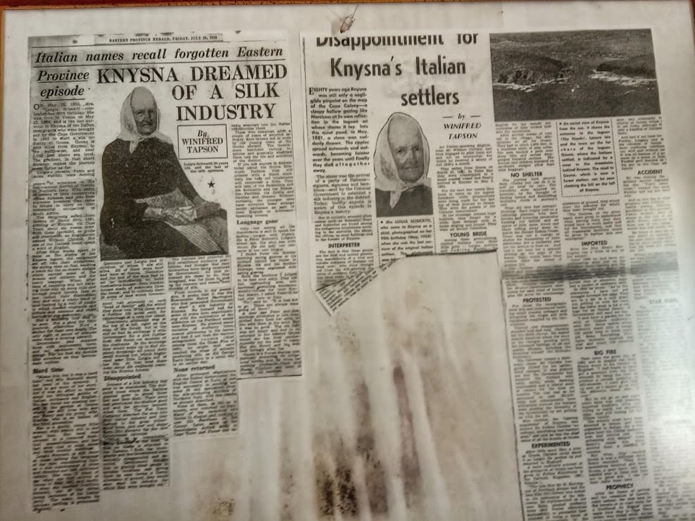
Inside the Church, there are many historical artifacts and newspaper articles that talk about this story. Attracted by the invitation of the English farmer Henry Barrington, these 32 Italians arrived here with the idea of producing silk but soon realized that the excellent living conditions promised were not so easy to achieve.
Neither roads nor paths did exist in the area, and neither did the houses that had been promised. And worse, the local mulberry tree was not the one the silkworms fed on.
The attempt to plant the right trees was in vain, they never grew. Thus, without home or silk, they set to work building the road and being a farmer. You can read more about their history in this article.
The church address is 23J3 + 9F Knysna, South Africa.
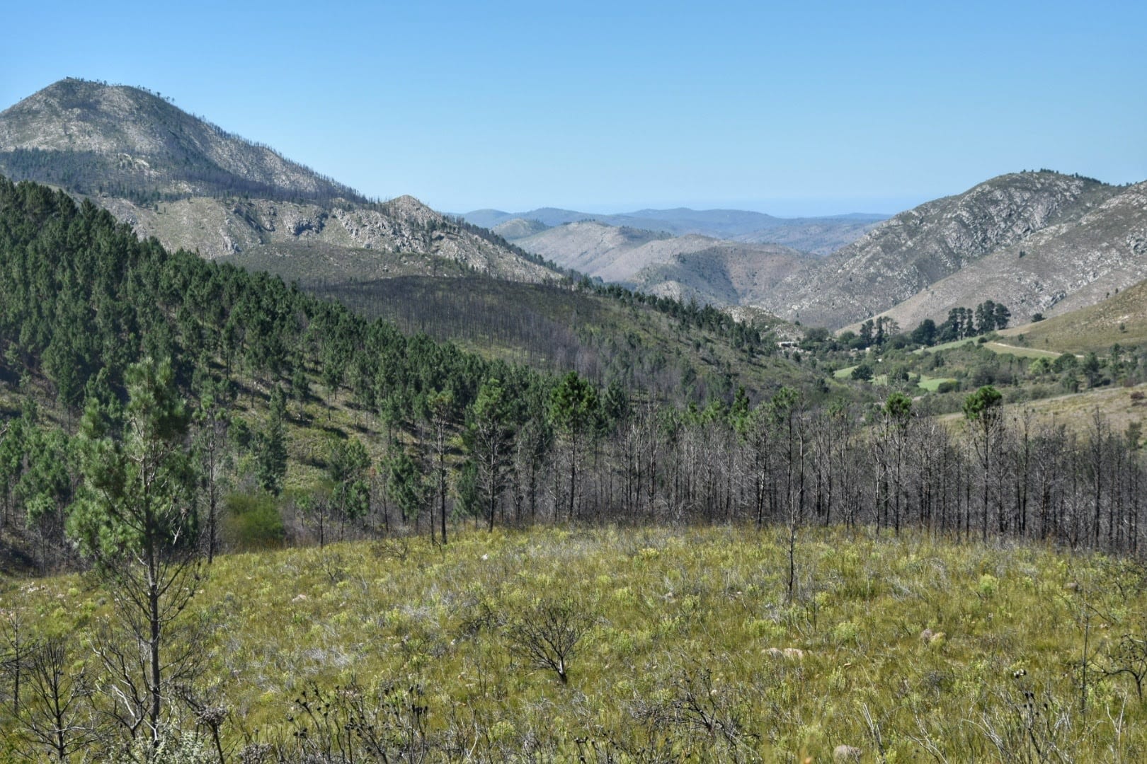
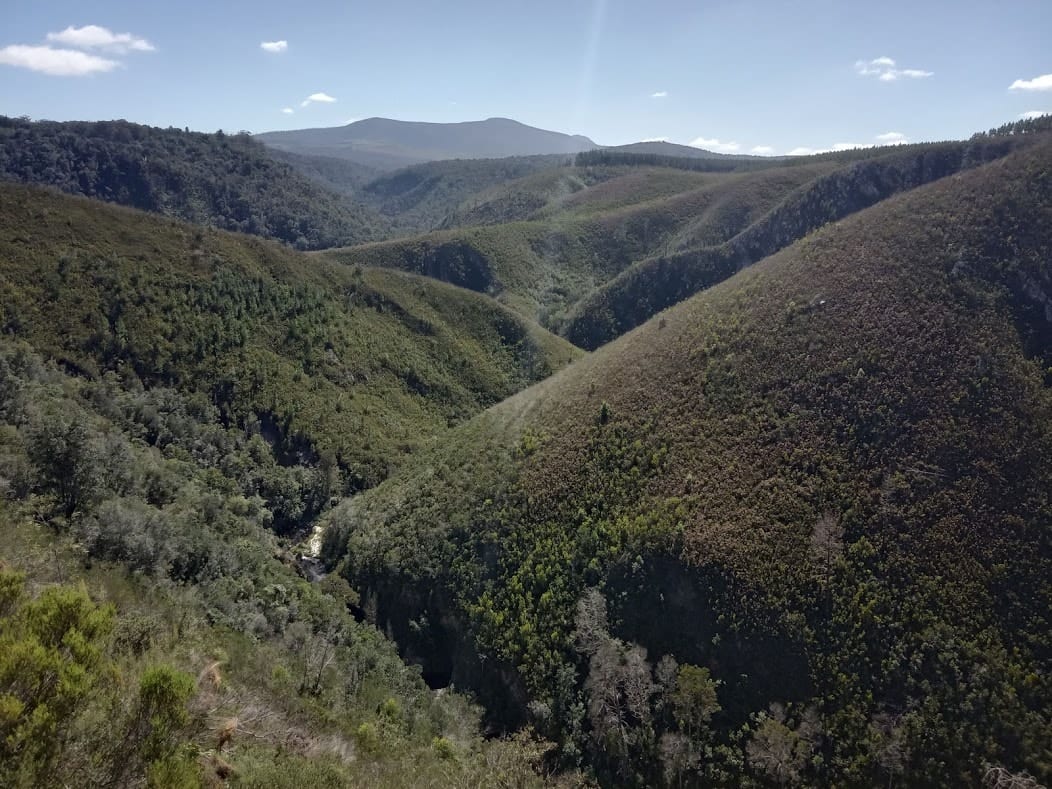
Continuing along the road, quite bumpy, there are beautiful panoramic points and you are always surrounded by the forest and a pleasant shadow. One of the most beautiful viewpoints, in the photo below, is here: 33 ° 56’42.1 “S 23 ° 03’17.2” E.
One mile of these steep ups and downs is used every year for a sprint car race called Speedfestival. The inclines are often severe but the pavement is decent.
R339, Angie’s G Spot, and Prince Alfred Pass (67km)
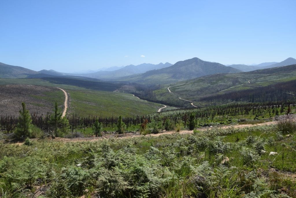
Once on the R339 the road conditions improve, there are about 13 kilometers slightly uphill and you will meet two picnic areas with tables, bathrooms, drinking water, and, obviously, the grill for the braai.
The R339 road annually hosts a famous cycling race that is however covered in the other direction, from Uniondale to Knysna. The race is called Karoo to Coast and this is the official website.
The top of this hill, at about 600 meters, is used for timber. There won’t be much shade for a few years here since the pines have burnt and have been cut.
The logging trucks are the main ones responsible for the conditions of this piece of the road a few sections are plagued by a corrugated “washboard” (which makes it difficult to pedal even downhill, at least when on fully loaded bicycles.
The descent to the Keurboomsrivier and the world-renowned Angie’s G Spot
The road descends to a torrent of fresh water and then goes up again with a couple of more challenging bends. In this part, we met some baboons, because of the fires they are getting closer and closer to homes looking for food.
After 5 kilometers you arrive at the top of the slope and after a short flat part the descent towards Angie G spot, the only restaurant on the street. As soon as the descent begins, a spectacular landscape opens up before us, the road conditions in this part are not the best, the road is more rocky and narrow and at some points quite steep.
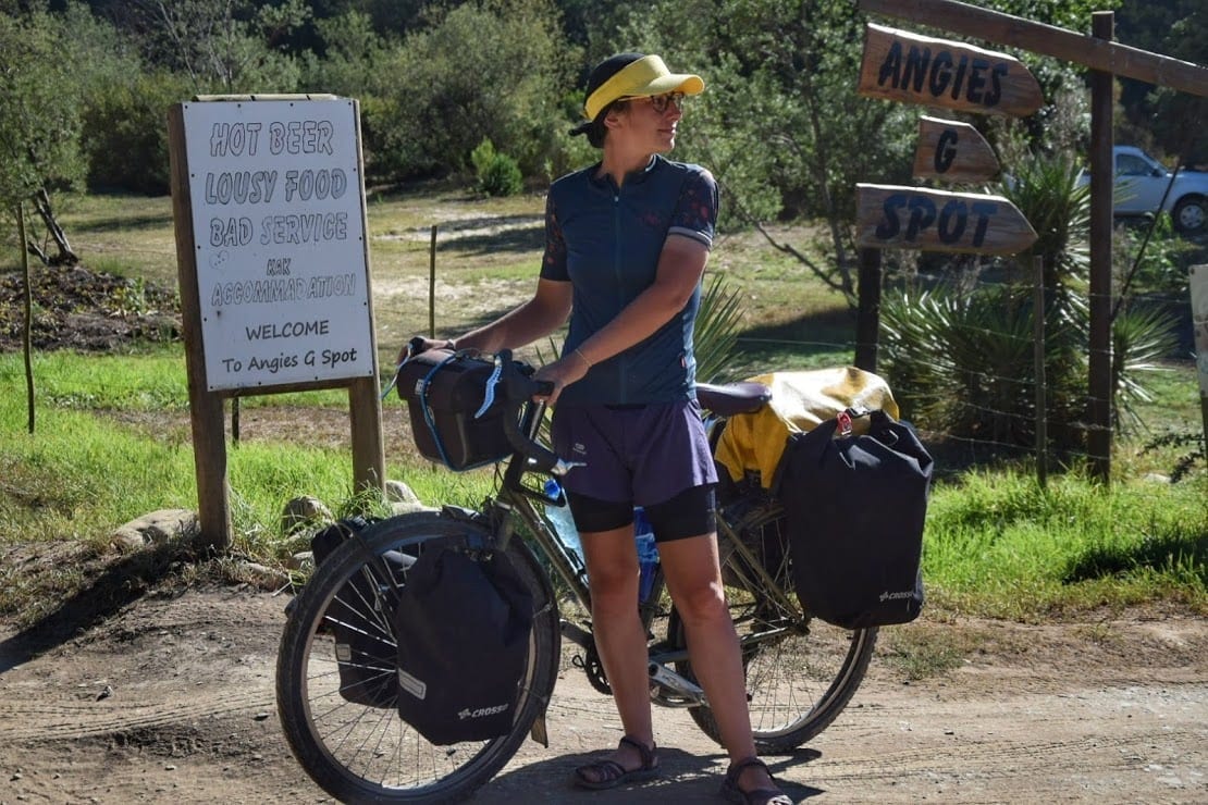
At Angie’s’ you can pitch a tent for 120 Rand per person, but the price depends on the season. There is a hot shower powered by a wood heater (what locals call “the donkey”), a bar-restaurant with a cold beer, a nice lawn on the river, and a very positive atmosphere. At night there is a lot of humidity and the temperature range is felt.
Prince Alfred Pass
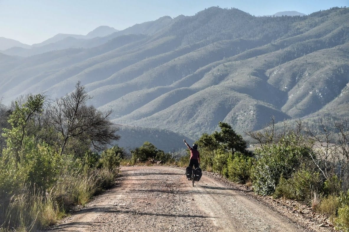
As soon as you leave the campsite, the 14-kilometer climb that will take you to the top of the Prins Alfredpas begins. About 1000 meters high. Building this road was not at all simple and is in fact considered the most challenging job of Thomas Bain, considered the South African road-building guru.
Completed in 1860, it is the longest pass in South Africa (67km), and the second oldest still in use without any changes being made. The laborers that built Prince Alfred Pass were all convicted workers, among them, we’ve heard, there were also Italian war prisoners. Unfortunately, we couldn’t find more info about this.
Maybe the most spectacular section of this beautiful road is its beginning, another highlight in this dream destination that is the Garden Route.
The path indeed starts winding along a river, in a sort of gorge with weird rock pinnacles. In this first part, there are a few small natural pools where you could refreshingly bathe, take this chance because there won’t be any more.
Even though the road keeps following a stream, that is always very far below you, hard to reach. There are no springs of water along the road so equip yourself first. The middle section is very nice, you can admire the road-builder’s job in certain tricky sections. The top of the pass is not the most spectacular, but the quietness and silence of this road are worth the trip themselves.
The descent is long and nice, and quickly back into farmland. Coming down from the pass you will arrive in Avontuur, about 13 kilometers from Uniondale, here you will meet a bit of asphalt and you will be able to stock up on water and food.
For all the 14 kilometers that took us about 3 hours, mostly under the scorching sun, we met three or four cars in total.
Route 62 – Riding back to shore
There are two interesting options when in Avontuur:
- one is to get to Uniondale (check its ghost stories) and then cross the Baviaanskloof Nature Reserve. This was our original plan but we soon found out the Baviaans can’t be accessed by bicycles without a support vehicle. That’s because of the many treacherous wild buffaloes.
- the other is to take the R62, a paved road with very little traffic that passes between the mountains of the Garden Route National Park and the Baviaans.
For the first 45 kilometers up to Louterwater we have not encountered any food shops, there is probably something in Harleem but it requires a little detour from the main road.
At Louterwater there is a slum where seasonal workers live, they pick and package fruit. After the “informal settlement” is the proper village, with small supermarkets and a couple of guesthouses.
The road up here is pleasant, without traffic and a slight downhill incline that makes it a very easy ride on a bike. It is after Louterwater though, that Route 62 becomes much more beautiful, the cultivated fields and orchards give way to the fynbos with its colorful flowers.
About twenty kilometers from Louterwater there is Joubertina, the main center of the area, there is a restaurant on the R62, a campsite, and a guest house. To find others you will have to enter the country that is not along the road. Keep in mind that after Joubertina you will not encounter anything until Kareedouw from where we have crossed the mountains of the Garden Route to return to the coast.
The pass at Kareedouw is not a big climb but there are a couple of challenging meters, especially with headwinds. After the pass, we took the R102 which runs near Highway 2 but with light traffic. You will meet a small market with a restaurant, a brewery, a shop selling local products, and an information point, called Oudebosch Farmstall Tsitsikamma.
From here in Port Elizabeth, the road becomes quite boring, being far from the sea and with no mountains at your side. If you have time, however, it’s worth taking detours to see Oyster Bay and Jeffreys Bay.
Arriving at Port Elizabeth and Sardinia Bay
Port Elizabeth is a big city but it does not have a real center and, to tell the truth, it is also negligible from the tourist point of view. However, there are several people who offer hospitality through WarmShowers and Couchsurfing.
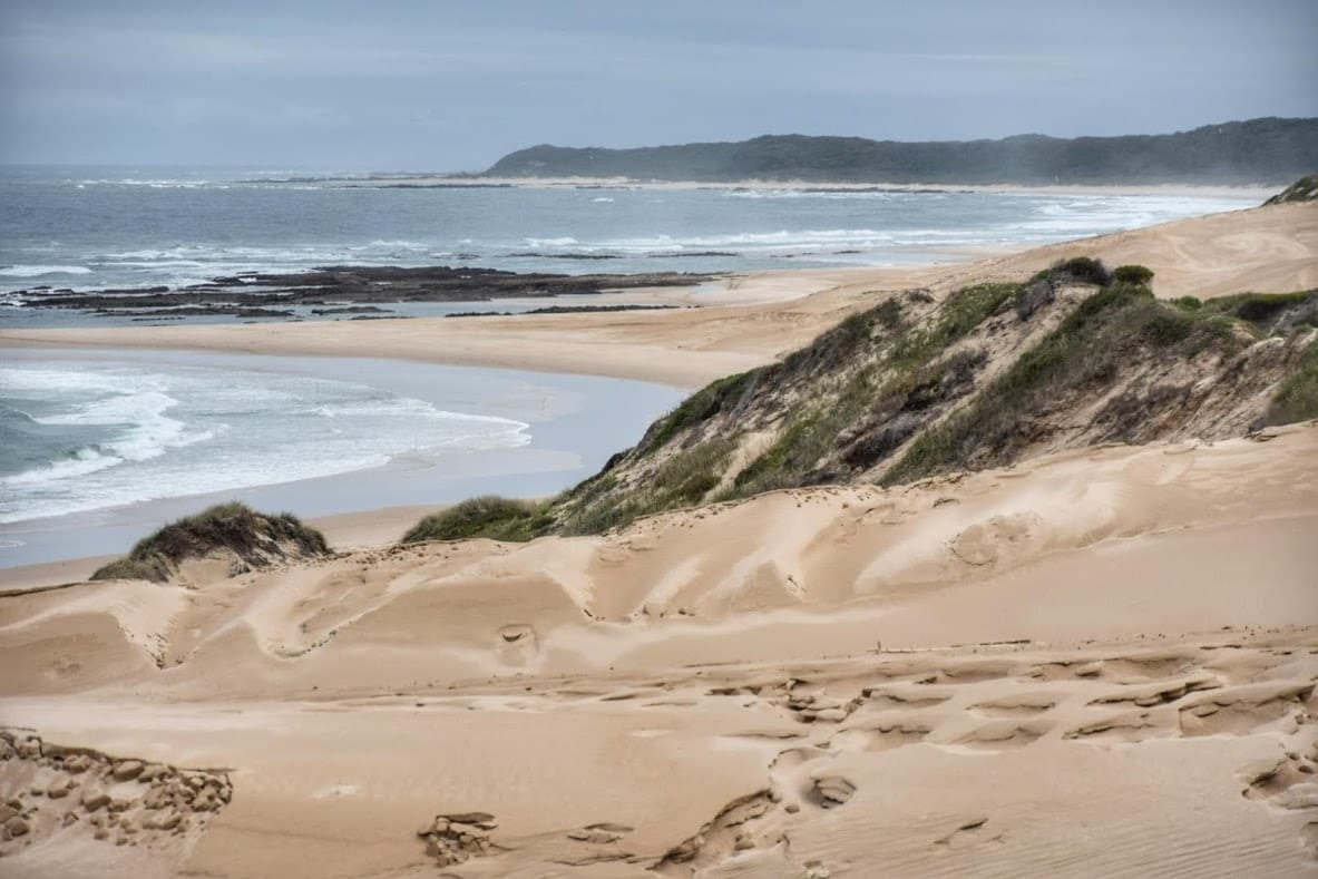
Furthermore, Port Elizabeth is located not far from the Addo Elephant Park and day trips are organized from the city. About ten kilometers before PE there is the wonderful beach of Sardina Bay with its high dunes. We’ll talk more about this in a future article.
Planning a road trip to South Africa? Check ours:
- Cape Town in 5 days
- The Western Cape coast to Hermanus
- Greyton and Swellendam
- Barrydale, the Little Karoo, and the Seven Passes road
- You are here
- From Port Elizabeth to Lesotho
- A wild itinerary in Lesotho
Check also:
Sani Pass, the highest road in South Africa – Maletsunyane Falls in Lesotho


